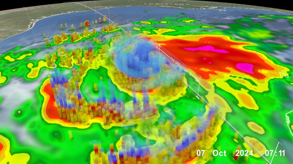
Hurricane Isaias strengthened into a Category 3 major hurricane Friday as it moved toward the U.S. Gulf Coast, where final storm preparations were underway. The National Hurricane Center said the storm was packing 120 mph winds and could strengthen further before landfall.
The center forecast landfall late Friday somewhere along the Alabama-Florida line. It warned of dangerous conditions in the Florida Panhandle, southern Alabama and southern Mississippi. Rain began falling along the coast Friday morning, and tropical storm conditions were expected to start early in the afternoon.
Gov. Ron DeSantis warned at a Friday morning news conference that storm surge poses the greatest threat to life, especially for people who have not followed evacuation orders. He said surge could reach from Pensacola into the Big Bend region of North Florida. Several Panhandle counties are under mandatory evacuation orders.
Shelters opened across the region. The Red Cross set up overnight shelters in the Panhandle, including one at Northwest Florida State College’s arena. Alabama Gov. Kay Ivey told visitors in coastal areas to leave immediately.
The hurricane is expected to weaken quickly after landfall and be downgraded to a tropical storm by Saturday afternoon as it moves inland along the Alabama-Mississippi line, the center said. Separately, Hurricane Simon was forecast to strengthen as it approached Mexico’s Pacific coast.