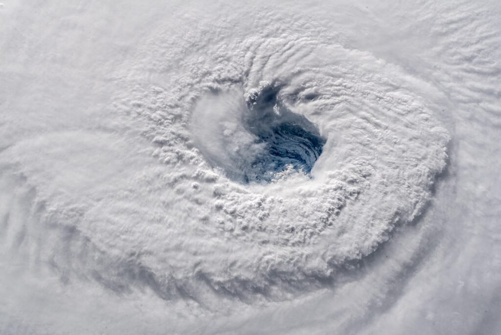
Tropical Storm Isaias formed Wednesday morning in the southwestern Gulf of Mexico, according to the National Hurricane Center. Forecasters expect the system to strengthen rapidly over the next couple of days and say it will likely become the first hurricane of the 2026 Atlantic hurricane season.
In its 11 p.m. advisory, the center said the storm was about 180 miles northwest of Progreso, Mexico, and about 460 miles south-southwest of the Mouth of the Mississippi River. It was moving east-northeast at 9 mph, with maximum sustained winds of 70 mph.
Hurricane and storm surge watches have been issued for parts of the northern Gulf Coast. A watch means hurricane or storm surge conditions are possible in the area, and residents there are advised to monitor forecasts and prepare.
Why It Matters to Florida Residents
Although the storm is far from Florida at this point, its track and intensity could affect Gulf Coast communities in the coming days. Residents across the state should keep an eye on updates from the National Hurricane Center and local officials as the season progresses.
The system was previously known as Tropical Depression Nine and Invest 92-L before it was upgraded to a tropical storm. WPBF 25 News will continue to provide updates on air, online and through its app.