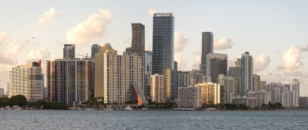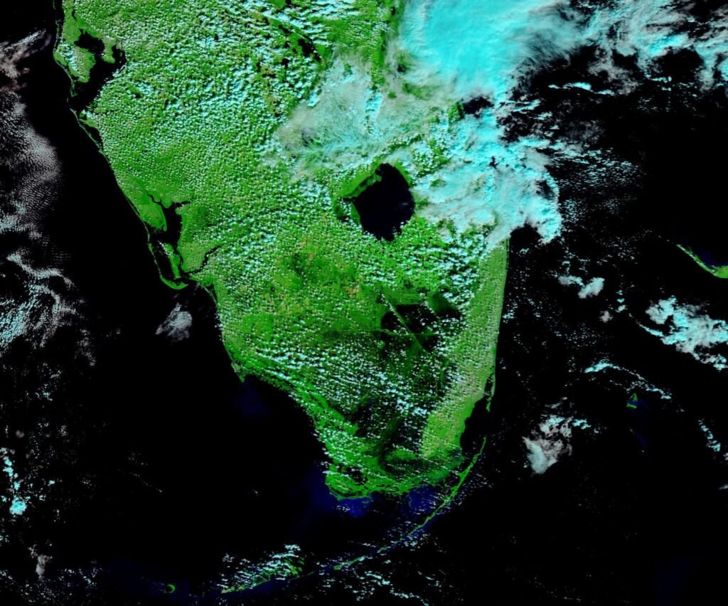
South Florida should expect scattered showers and thunderstorms starting Wednesday afternoon, with some heavy downpours and localized flooding possible. Forecasters say the chance of rain will stay high through Thursday because of passing storms.
King tides are also returning to the region, which could bring minor coastal flooding. Rain chances drop on Friday, but winds pick up on Saturday, along with the chance of more passing storms. Lower rain chances and more sunshine are expected Sunday. High temperatures are forecast to stay near 90 degrees through early next week.
Tropical Storm Isaias Heads Toward Gulf Coast
The National Hurricane Center is tracking Tropical Storm Isaias in the Gulf of Mexico. It is expected to become the first hurricane of the 2026 Atlantic season by early Thursday. Isaias is forecast to make landfall along the northern Gulf Coast by late Friday or early Saturday. The hurricane center said hurricane watches will likely be issued later Wednesday, and the cities in the Florida Panhandle are under tropical alerts.
For South Florida residents, the storm is not forecast to bring the main impacts to the area, but readers should keep an eye on updates from the National Hurricane Center and local forecasters as conditions change.